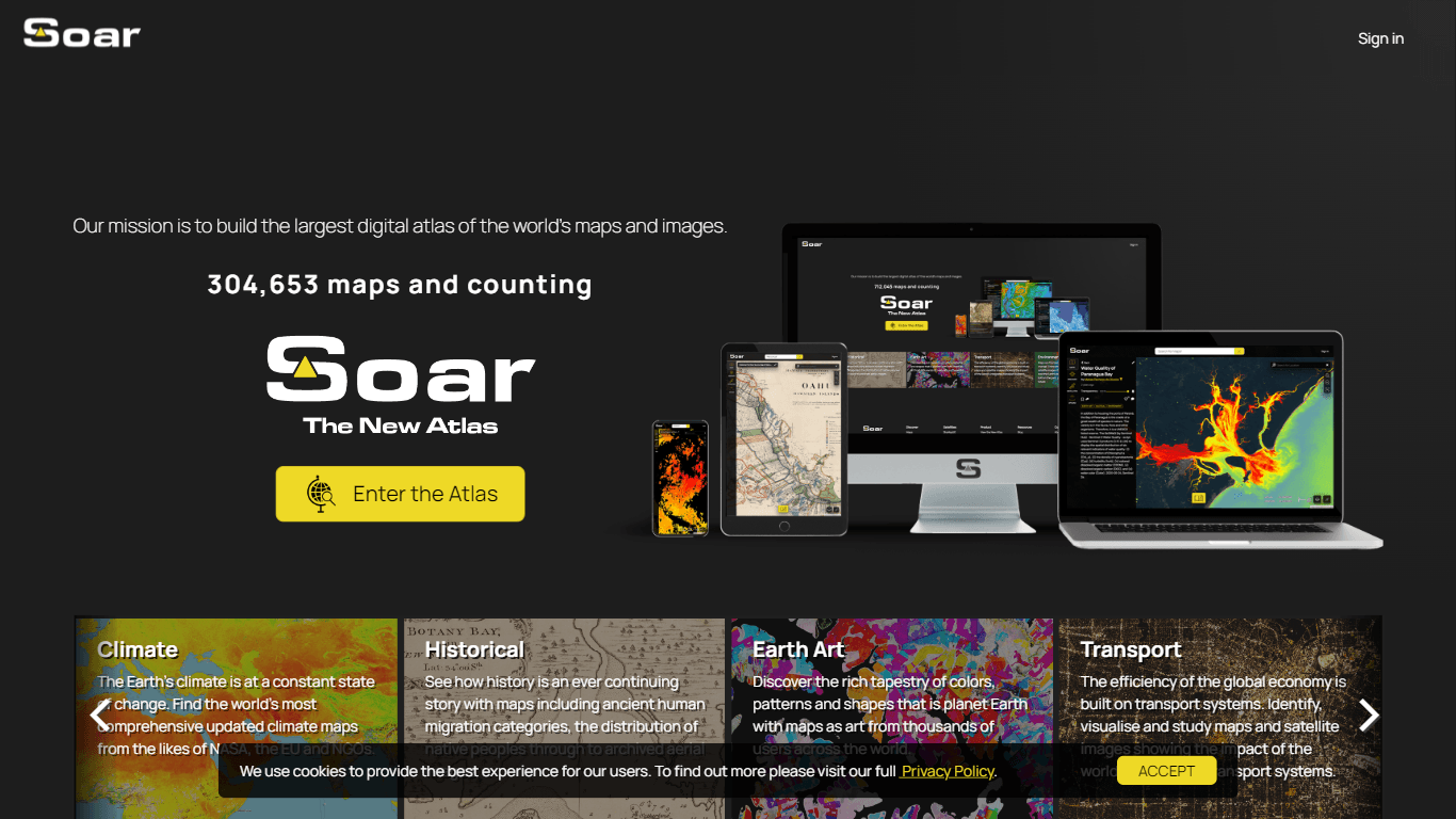
Soar
Soar is an innovative platform designed to provide users with the ability to explore, view, and share detailed maps and imagery of the Earth. Its core functionality revolves around offering high-resol
8,607
Votes
21,135
Views
4,781
Bookmarks
About
Soar is an innovative platform designed to provide users with the ability to explore, view, and share detailed maps and imagery of the Earth. Its core functionality revolves around offering high-resolution satellite imagery and interactive mapping tools that cater to a diverse audience, including researchers, educators, and outdoor enthusiasts. By leveraging advanced geospatial technologies, Soar enables users to gain insights into geographical features and environmental changes, making it an invaluable resource for both academic and recreational purposes. The target audience for Soar includes professionals in environmental science, urban planning, and education, as well as hobbyists interested in geography and nature. The platform's unique value proposition lies in its user-friendly interface combined with powerful analytical tools that allow users to visualize and interpret complex data sets. This accessibility, paired with the depth of information available, sets Soar apart from traditional mapping services. Key differentiators of Soar include its emphasis on high-quality imagery, real-time data updates, and collaborative features that facilitate sharing and discussion among users. The platform also integrates seamlessly with various data sources, enhancing its utility for users who require up-to-date information for decision-making processes. Overall, Soar represents a significant advancement in the field of geospatial analysis, providing a comprehensive solution for anyone interested in exploring the Earth's landscapes.
Key Features
- High-Resolution Satellite Imagery: Offers detailed views of the Earth's surface, enabling users to analyze geographical features with precision.
- Interactive Mapping Tools: Users can manipulate maps in real-time, allowing for customized views and enhanced data interpretation.
- Real-Time Data Updates: Ensures that users have access to the most current information, which is crucial for research and planning.
- Collaborative Sharing Features: Facilitates discussions and sharing of maps and imagery among users, promoting community engagement and knowledge exchange.
- Seamless Data Integration: Connects with various data sources to provide comprehensive insights, making it suitable for professional and academic use.
FAQ
What types of maps can I explore on Soar?
Soar provides access to a variety of maps, including topographic, satellite, and thematic maps. Users can explore different layers of information to gain insights into geographical features and environmental conditions.
Is there a mobile version of Soar?
Currently, Soar is optimized for desktop use, but the team is working on a mobile-friendly version to enhance accessibility for users on the go.
Can I share my maps with others?
Yes, Soar includes collaborative features that allow users to share their maps and imagery with others, facilitating discussions and collaborative projects.
How often is the imagery updated?
Imagery on Soar is updated in real-time, ensuring that users have access to the latest data for their analyses and explorations.
Is there a limit to the number of maps I can create?
There is no limit to the number of maps you can create on Soar, allowing users to explore and document various geographical areas without restrictions.
What technologies does Soar use for its mapping services?
Soar utilizes advanced geospatial technologies, including GIS (Geographic Information Systems) and satellite imaging, to provide high-quality mapping services.
You may also like
More tools in Other

LLM Council
A tool to compare and synthesize multiple LLM responses.

Integral Calculator - Wolfram|Alpha
The Integral Calculator provided by Wolfram|Alpha is a comprehensive tool designed for professionals, educators, students, and anyone with a need to solve complex mathematical integrals. By leveraging

PureCode.ai
A tool to automate coding tasks through codebase-aware code generation.

@kuki_ai
Welcome to the world of Kuki, an award-winning artificial intelligence designed to bring entertainment to the digital age. Dive into engaging conversations with AI that's crafted to provide not just r

SuperU AI
A nocode tool to create voice AI agents for customer communications.

AptlyStar.AI
A tool to create and manage AI bots for businesses.

Wan 2.7 AI Video Generator
Wan 2.7 AI Video Generator transforms still images into high-quality, realistic 1080P videos with dynamic motion and advanced controls. It targets creators, marketers, e-commerce professionals, and di
G3D.AI {Jedi}
G3D.AI {Jedi} is a generative AI tool for game creation that enables game creators to build beautiful and novel games in a fraction of the time. With a suite of tools designed to supercharge creativit

Verbacall
A platform that automatically answers, qualifies, and follows up on calls 24/7.

PrompTessor
A tool that optimizes text for clarity, tone, and grammar without requiring prompt engineering skills.
AI Dungeon
AI Dungeon is a text-based adventure game where you lead the story and the AI creates the world around you. It offers endless possibilities by generating unique characters, settings, and scenarios bas

Inworld AI
Create realistic AI characters with natural language